Maps of Elgin, North Dakota
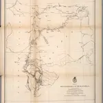 1874|United States. Army. Corps of Engineer1:760 320
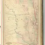 1875|Asher & Adams1:1 260 000
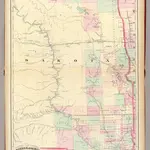 1874|Asher & Adams1:1 267 200
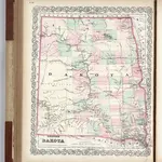 1874|Colton, G.W.1:2 090 880
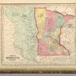 1859|Mitchell, Samuel Augustus1:2 400 000
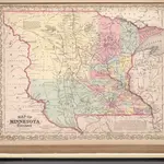 1857|Mitchell, Samuel Augustus1:2 400 000
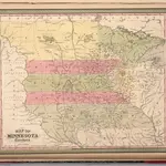 1850|Mitchell, Samuel Augustus1:2 463 282
Old maps of Elgin, North Dakota
Discover the past of Elgin, North Dakota on historical maps
Old maps of Elgin, North Dakota
Discover the past of Elgin, North Dakota on historical maps
Looking for a Google Maps API Alternative?