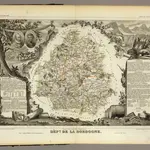
Maps of Saint-Hilaire-d'Estissac
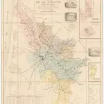
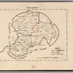
Old maps of Saint-Hilaire-d'Estissac
Discover the past of Saint-Hilaire-d'Estissac on historical maps
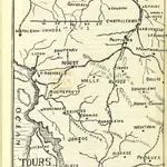
Old maps of Saint-Hilaire-d'Estissac
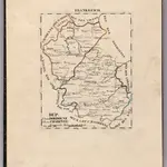
Discover the past of Saint-Hilaire-d'Estissac on historical maps
Looking for a Google Maps API Alternative?